
Looq AI turns physical environments into a queryable spatial intelligence layer using images and computer vision for surveying, mapping, and engineering.
What it is
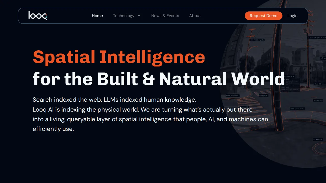
Looq AI is a geospatial platform that transforms physical locations and assets into queryable, high-fidelity 3D records. By processing standard images instead of relying solely on LiDAR or restricted flight permits, the system builds an up-to-date layer of spatial data for the built and natural world.
Key features
- Generates survey-grade 3D models and CAD-ready linework from images
- Delivers engineering-ready asset data for utility lines, poles, and infrastructure
- Provides millimeter-level ground truth data for robotics, autonomy, and mapping
- Operates without requiring flight permits or specialized airspace access
- Scales with geographic information systems and asset management workflows
Who it's for
Looq AI suits surveying professionals, civil engineers, utility operators, telecommunications teams, construction managers, defense planners, and autonomous vehicle developers who require precise spatial data.
Pricing
Check the official website for current pricing.
Use cases
- Generate survey-grade 3D models
- Inspect utility and telecom assets
- Create high-definition maps for autonomy
- Document construction site as-builts
FAQ
What data does Looq AI use to create spatial models?
Similar to Looq AI
More Looq AI alternatives
CARPL.ai
AnalyticsRadiology AI integration and validation platform
CARPL.ai is an enterprise imaging platform that unifies radiology workflows, offering a single integration pipeline for over 300 AI applications.

